M.A.T
About Mongolia
Tours
Booking service
Travel information
Blog
Experience the true Adventure with us
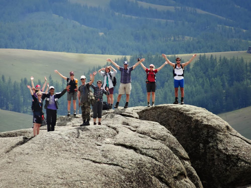
Mountain climbing tours
Mount Tavan Bogd is in the West Altai mountain chain. Altai is one of the three main mountain ranges of Mongolia. Tavan Bogd is the nighest mountain in Mongolia with its 4374 meters high peak " Khuiten."
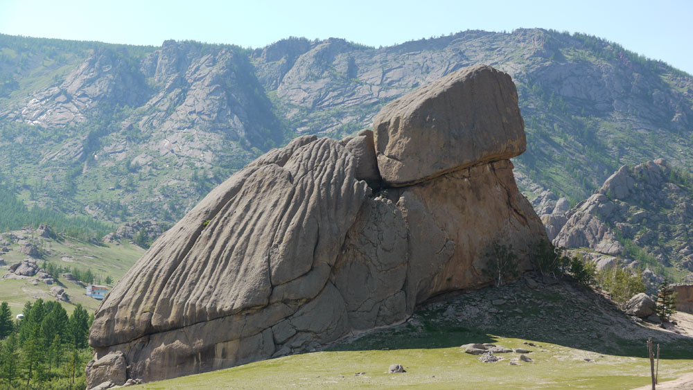
Terelj National Park and Shambala (5D4N)
The trip will start with a train ride to Sainshand city via Trans Siberian rail road. From Sainshand we will head for “Khamriin Hiid” known as the World energy center.
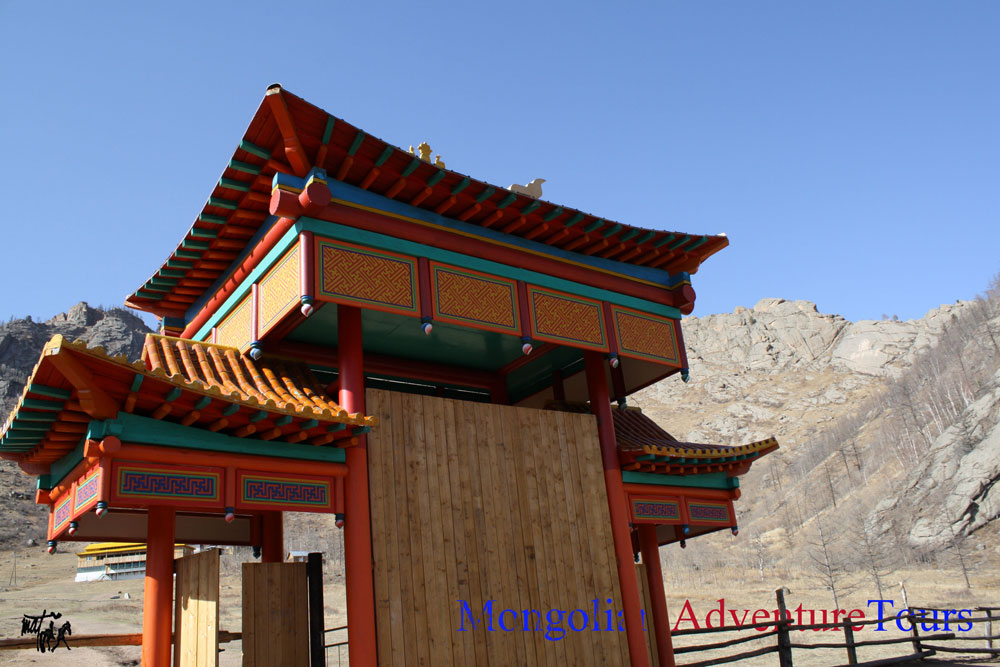
13th Century Complex and Terelj National Park (2D1N)
The park is often referred as a « live museum» as the people residing in the park live the authentic lifestyle of the Mongols of the 13th century, without any use of modern items.
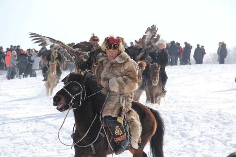
Nomadic winter tour-2014
Eagle hunting festival, Ice festival at the Khuvsgullake Camel festival
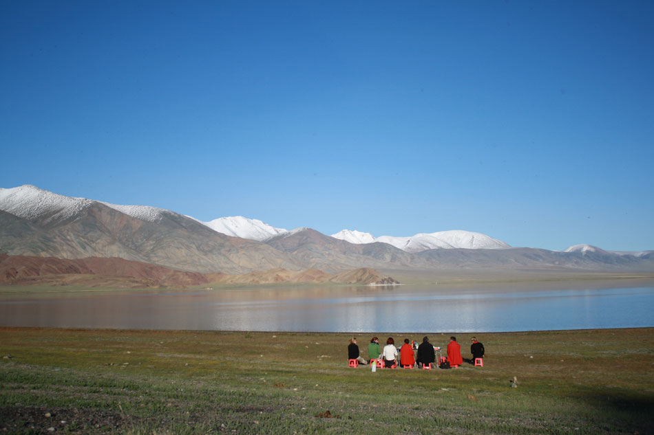
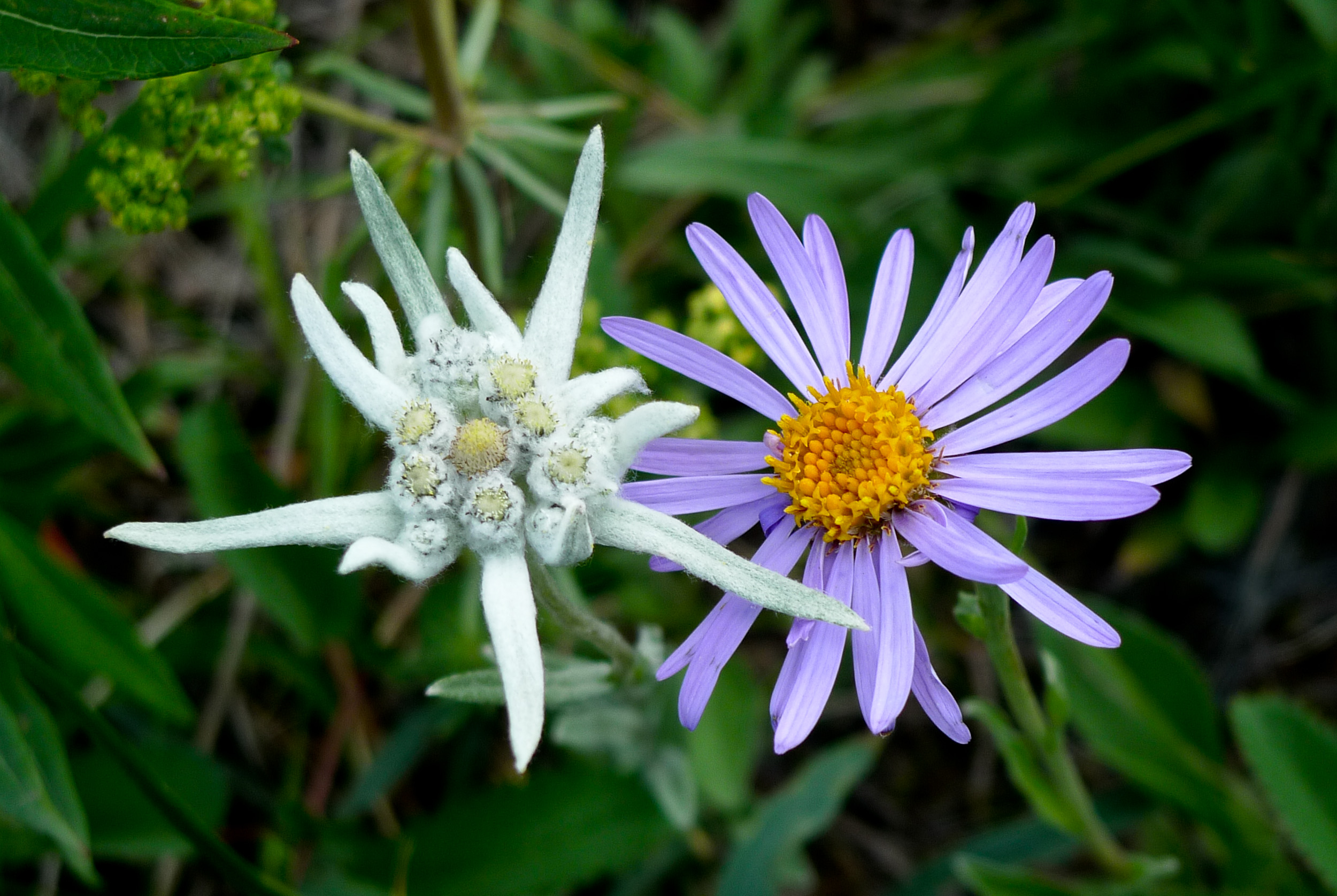
Exploring Mongolia
his trip will take us from the southernmost part of Mongolia to the northern most part. You will experience the various landscapes as you travel from the Gobi through the steppe to the northern taiga forest. See what you will discover along the way.
WHY CHOOSE US
more videos »
OUR TOURS
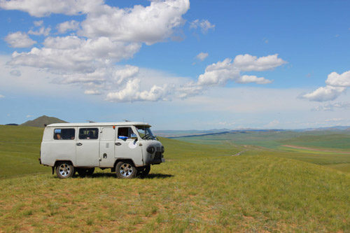
4x4
Adventuretours
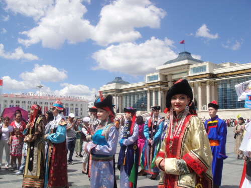
Event tours
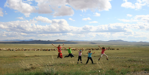
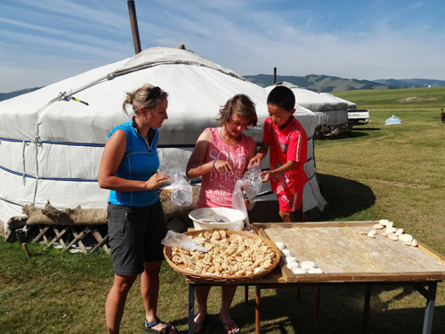
Family tours
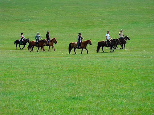
Horse riding
Short term tours
MEMBERSHIP
WEATHER