M.A.T
About Mongolia
Tours
Booking service
Travel information
Blog
Experience the true Adventure with us
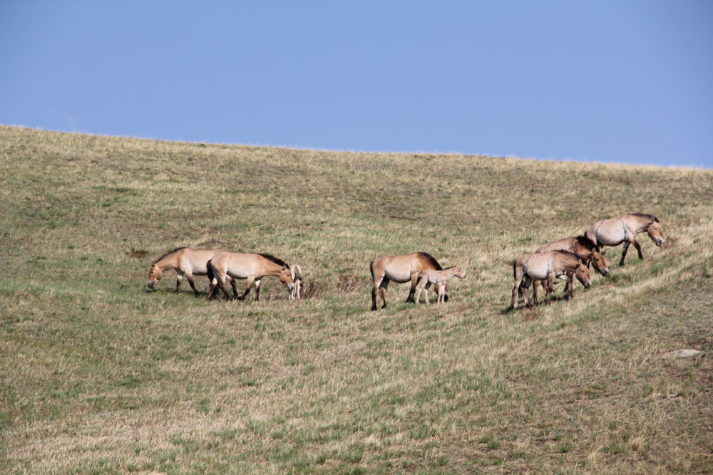
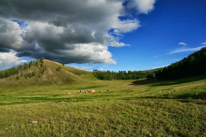
Hustai National Park (4D3N)
Khustai National Park, located approximately 100 km southwest from Ulaanbaatar, is the home to Przewalski horse, the last truly wild horse first discovered by a Russian zoologist Nikolai Mikhailovich Przhevalsky in 1870s.
Galloping in the Gobi and Khangai
Kharkhorin city, Orkhon Valley and Gobi are among the main attractions that one must see when they visit Mongolia.
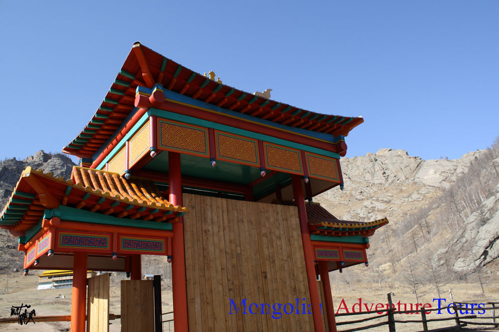
Terelj National Park and Shambala (5D4N)
The trip will start with a train ride to Sainshand city via Trans Siberian rail road. From Sainshand we will head for “Khamriin Hiid” known as the World energy center.
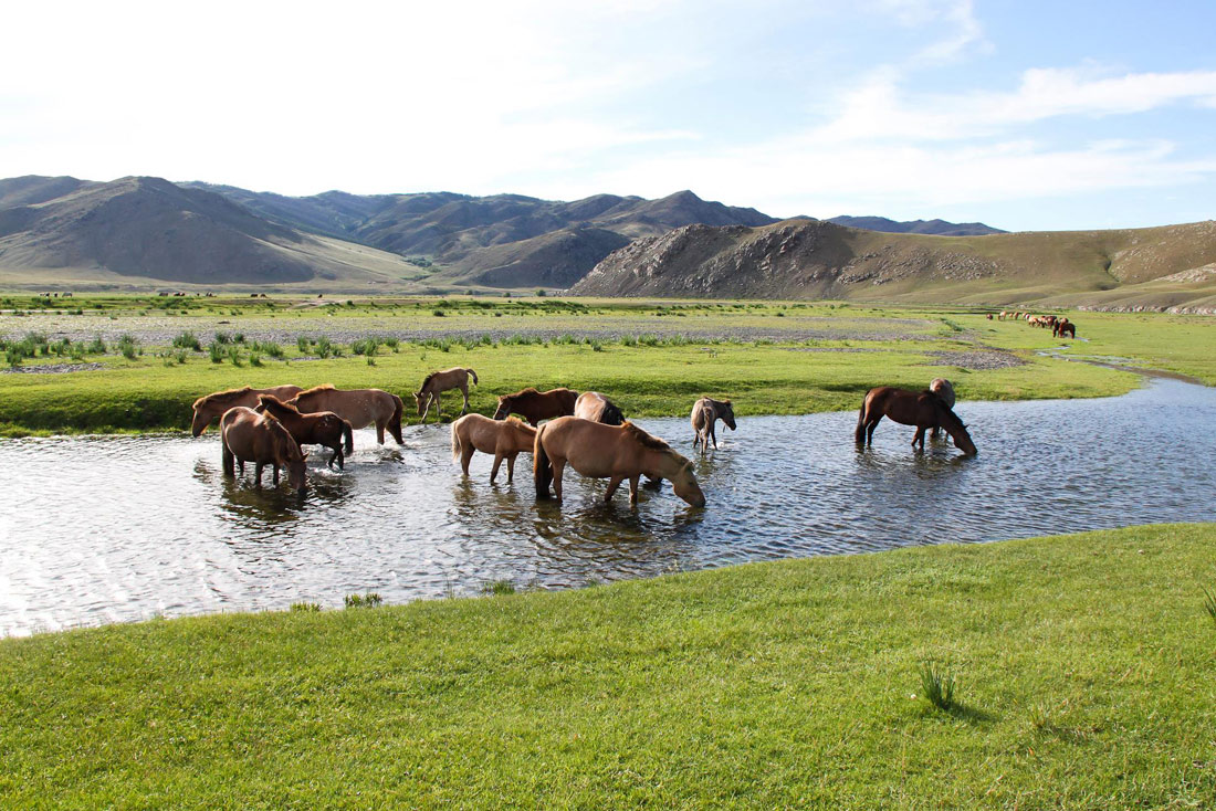
Contrasts of Mongolia
During this trip, you will see all types of natural landscapes such as Gobi-Altai high mountains, Khangai mountain range, sand dunes, lakes as well as historical sites such as the ancient capital of Chinggis Khan’s empire, Kharkhorin.
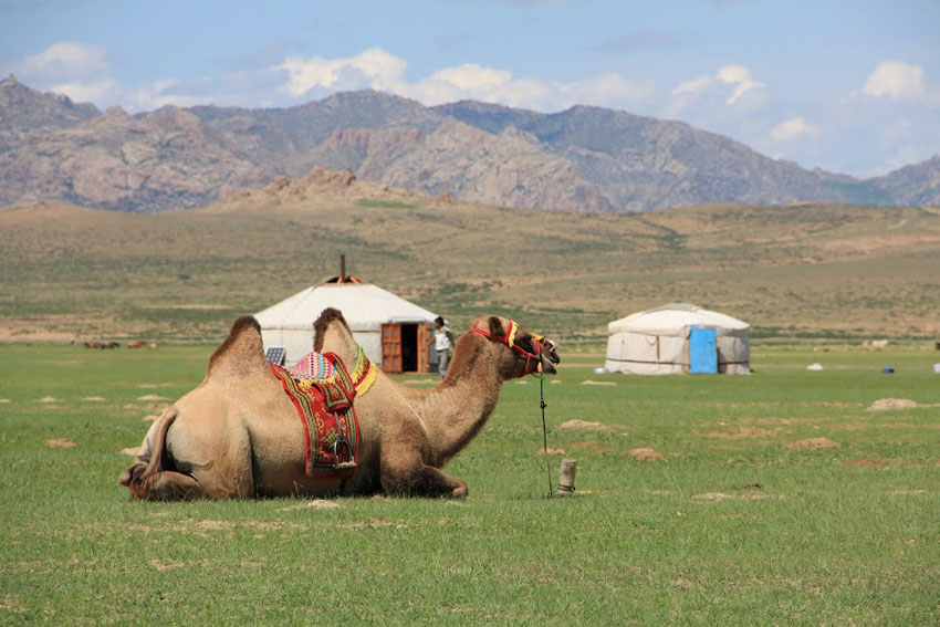
Karakorum and Bayangobi (3D2N)
You will enjoy the picturesque natural scenery of Bayangobi while riding a two humped Bactrian camel across the sand dunes of “ElsenTasarkhai”, the so called “little gobi”.
WHY CHOOSE US
more videos »
OUR TOURS
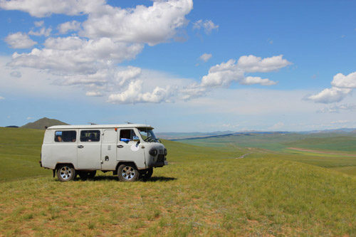
4x4
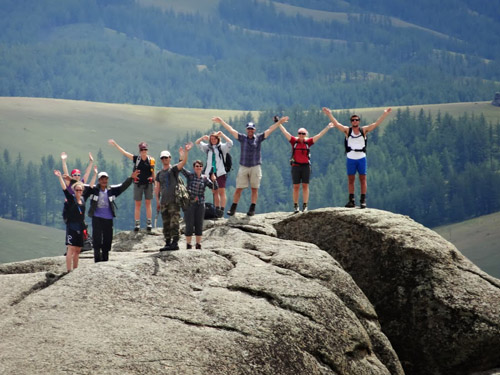
Adventuretours
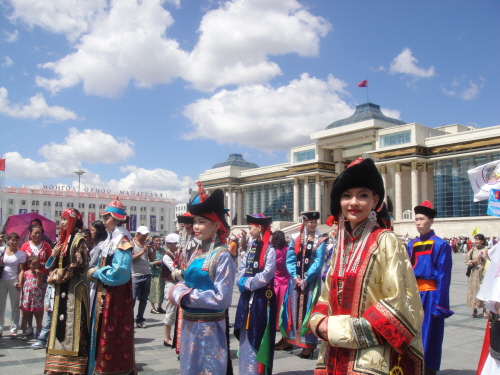
Event tours
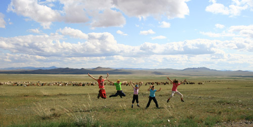
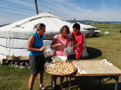
Family tours
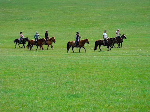
Horse riding
Short term tours
MEMBERSHIP
WEATHER